Baghdad's Fourth Ring Road Plan Revealed: 28 Interchanges and Two Suspension Bridges
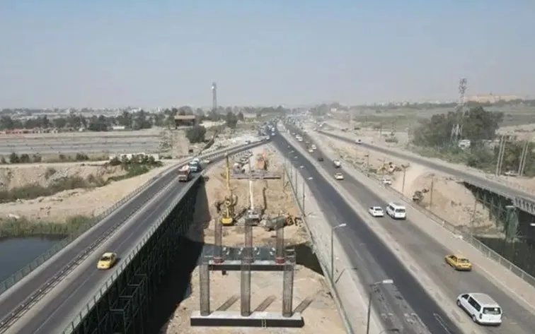
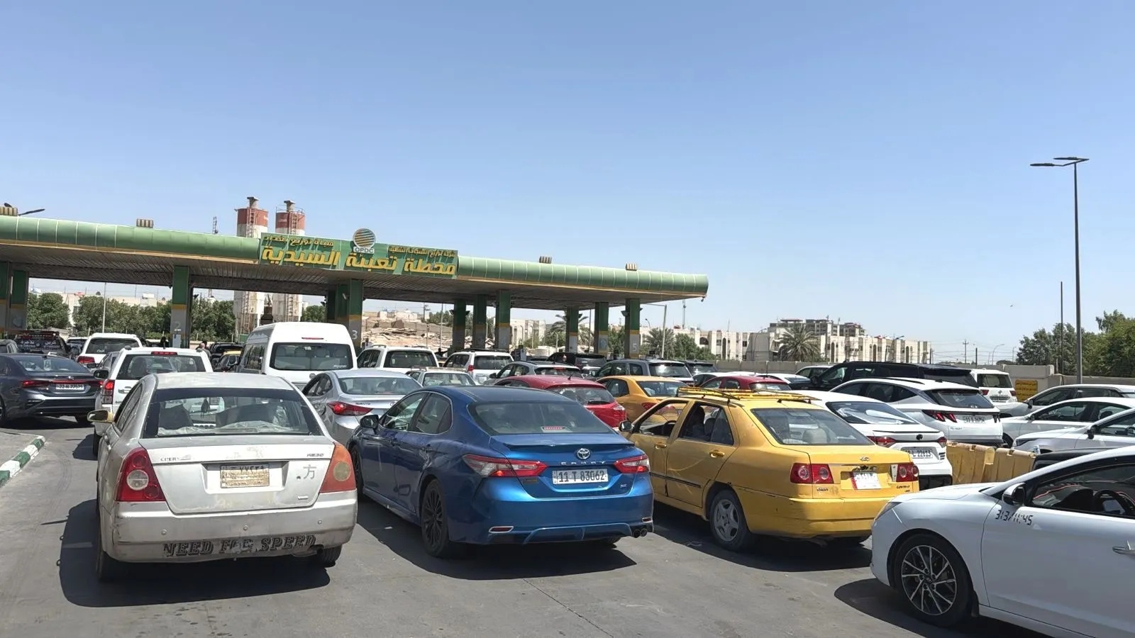
The Department of Roads and Bridges, under the Ministry of Construction, Housing and Public Municipalities, revealed on Friday the details and stages of the Fourth Ring Road project surrounding the capital Baghdad. It indicated ongoing understandings with the World Bank to finance parts of it, affirming that residential encroachments on agricultural lands caused changes to some of its routes, noting that the road will include 28 interchanges and two suspension bridges. In a statement, Hussein Al-Mousawi, Director General of the Department of Roads and Bridges, said that "the Fourth Ring Road is considered one of the most important strategic projects whose implementation has been delayed for decades. Its initial designs were laid out in the 1980s and it was scheduled to be executed before 2000. However, successive crises and policies of the former regime, followed by a period of instability after 2003, prevented its commencement." He explained that "the road was designed to be at the outskirts of Baghdad, but the urban and residential expansion of the city caused some of its parts to fall within the master plan." Al-Mousawi added that "the department revived the project in 2021 by contracting a specialized foreign design company to prepare the detailed designs." He pointed out that "the project includes complex technical details, as it contains more than 28 interchanges and bridges, in addition to two suspension bridges over the Tigris River; one in northern Baghdad near Al-Muthanna Bridge and the other south near the Atomic Energy area, as well as dedicated lanes where the width of a single lane reaches 20 meters, with four main lanes and one reserve lane, alongside parallel service roads." Al-Mousawi clarified that "due to financial difficulties in funding the project all at once, priorities were set and the work was divided into four consecutive phases." He noted that "the first phase extends from New Sadr City towards Baghdad Tourist Island, reaching the old Abu Ghraib area, with a length of 28 kilometers. Its importance lies in diverting traffic outside the city and preventing heavy load and fuel trucks from entering the city center, especially those traveling from northern to southern governorates and vice versa, which contributes to reducing traffic congestion." The Director General of the department continued that "the other three parts of the project are still under design, but the biggest obstacle lies in the existence of encroachments and agricultural lands that have been converted into residential areas haphazardly and in violation of the law without regard for future projects, which forced the department to change some of the proposed road routes." He affirmed that "the department is awaiting the release of financial allocations for technical execution, coinciding with advanced understandings with the World Bank to finance and implement some parts of the remaining phases."